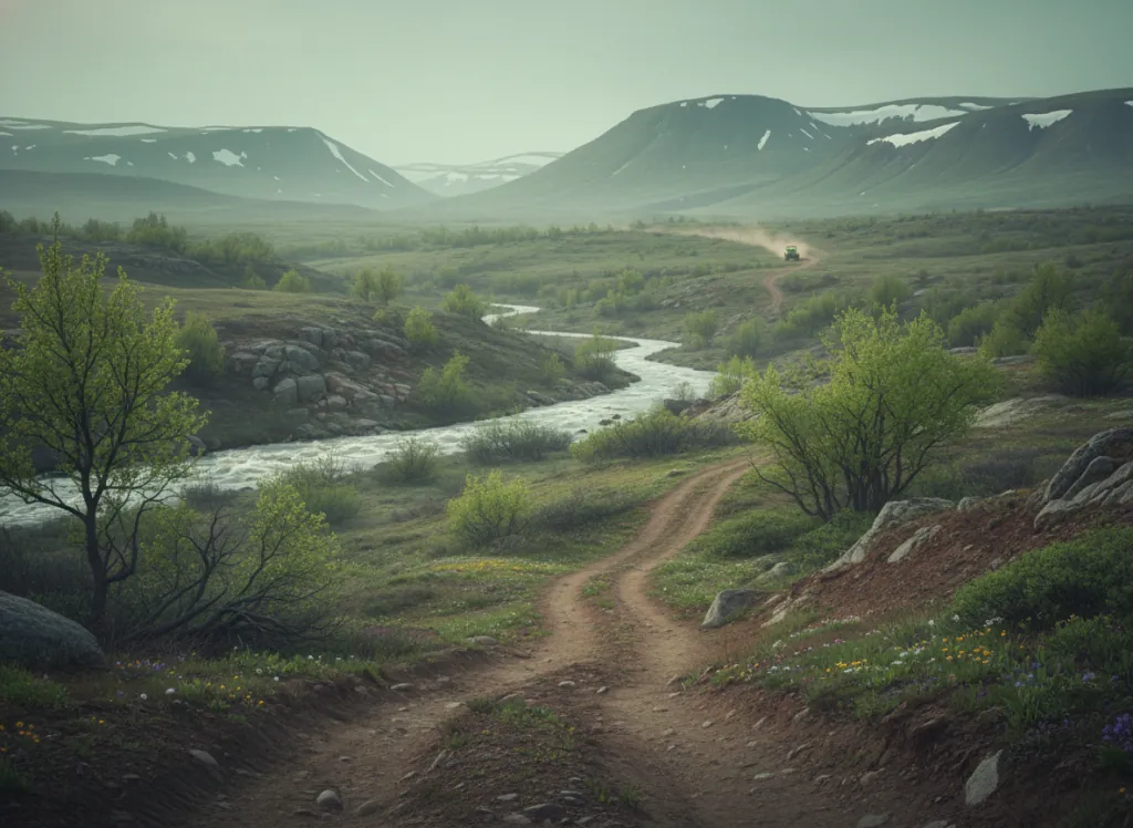
The Chippewa National Forest in north-central Minnesota encompasses 1.6 million acres of lake-studded boreal and mixed forest, and its designated OHV network (1,486 miles of roads and trails), makes it one of the largest publicly accessible off-road riding areas in the entire Midwest. Unlike a single-trailhead park, Chippewa functions as a distributed system: numbered forest roads are signed with OHV designations and mileage markers in the field, and riders navigate via free Motor Vehicle Use Maps available at the four district ranger offices in Cass Lake, Deer River, Walker, and Blackduck. The landscape reflects the glacier-sculpted North Woods: meandering forest roads between lakes, bog crossings on raised bed roads, hardwood upland ridges, and the broad open corridors of former logging railroads now converted to trail. The sheer scale means no two multi-day visits need overlap; sections of the network pass Leech Lake (one of Minnesota's largest), the Mississippi headwaters country, and the boundaries of the White Oak Lake and Sugar Bush wilderness study areas. ATVs, UTVs, and off-highway motorcycles are permitted on designated routes; width and horsepower restrictions apply on some segments. The system connects with adjacent Minnesota DNR OHV trails including the Moose River Trail and Moose River Connector. Free Motor Vehicle Use Maps are the essential navigation tool, pick one up at any district office or download from the Forest website before visiting.
Hours
Monday: Open 24 hours; Tuesday: Open 24 hours; Wednesday: Open 24 hours; Thursday: Open 24 hours; Friday: Open 24 hours; Saturday: Open 24 hours; Sunday: Open 24 hours
Phone
218-335-8600Trip openings, seasonal updates, and the occasional deal, straight to your inbox.
FAQ
Everything you need to know before you get started.
Have a question, or ready to book? Reach out and we’ll get right back to you.